6/26/2024
Florida Atlantic: Saving Sea Cows
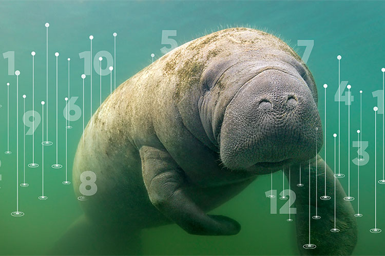
New AI Counting Method Could Help Florida’s Manatees
Manatees can be found from Brazil to Florida to the Caribbean islands. Some species, including the Florida manatee, are considered endangered by the International Union for Conservation of Nature.
Manatees have voracious appetites and often spend up to eight hours a day grazing for food within shallow waters, making them vulnerable to environmental changes and other risks.
Accurately counting manatee aggregations within a region is not only biologically meaningful in observing their habitats, but also crucial for designing safety rules for boaters and divers, as well as scheduling nursing, intervention and other plans. Nevertheless, counting manatees is challenging.
Because manatees typically live in herds, they often block each other when viewed from the surface. As a result, small manatees are likely to be partially or completely blocked from view. In addition, water reflections tend to make manatees invisible, and they also can be mistaken for other objects such as rocks and branches.
While aerial survey data are used in some regions to count manatees, this method is time-consuming and costly, and the accuracy depends on factors such as observer bias, weather conditions and time of day. Moreover, it is crucial to have a low-cost method that provides a real-time count to alert ecologists of threats early, to enable them to act proactively to protect manatees.
Researchers from Florida Atlantic University’s College of Engineering and Computer Science harnessed the power of AI to help save the beloved manatee. They are among the first to use a deep learning-based crowd counting approach to automatically count the number of manatees in a designated region, using images captured from CCTV cameras, which are readily available, as input. Their pioneering study not only addresses the technical challenges of counting in complex outdoor environments, but also offers potential ways to aid endangered species.
To determine manatee densities and calculate their numbers, researchers used images captured from Save the Manatee Club surveillance videos from the water surface. They then used a unique design matching the shape of manatees – Anisotropic Gaussian Kernel (AGK) – to transform the images into manatee-customized density maps, representing manatees’ unique body shapes.
“Our method considered distortions caused by the perspective between the water space and the image plane. Since the shape of the manatee is closer to an ellipse than a circle, we used AGK to best represent the manatee contour and estimate manatee density in the scene,” said Xingquan (Hill) Zhu, Ph.D., professor in the Department of Electrical Engineering and Computer Science. “This allows density maps to be more accurate than other alternatives in estimating manatees’ numbers.”
The new methodology also provides a promising trajectory for broader applications, especially for convex-shaped objects, to improve counting techniques that may foretell better ecological results from management decisions.
If you would like more information, please contact us at dorcommunications@fau.edu.